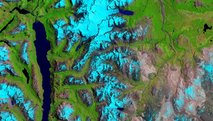
Washington: NASA has released an eye-popping image of Patagonia’s shrinking ice fields, captured by the Landat 8 satellite from space.
The image, acquired by the satellite's Operational Land Imager (OLI) on January 14, 2015, shows the glaciers of Sierra de Sangra, an icy stratovolcano spanning the border of Chile and Argentina.
Snow and ice are blue in these false-color images, which use different wavelengths to better differentiate areas of ice, rock, and vegetation, says NASA.
Since the end of the Little Ice Age, the ice fields of Patagonia and other parts of South America have been shrinking as global temperatures have increased.
A number of studies have investigated these changes, which can affect the communities downstream that rely on the glaciers for a steady water supply.
Landsat 8 is an American Earth observation satellite launched on February 11, 2013.
(Source: NASA)


